
![]()
Project title: European Network of Best Practices for Interoperability of Spatial Planning Information (Plan4all)
Co-funded by: eContentplus Programme
Project type: Best Practice Network
Grant Agreement No: ECP-2008-GEO-318007
Duration: 05/2009 – 10/2011
Total budget: 4.1 million €
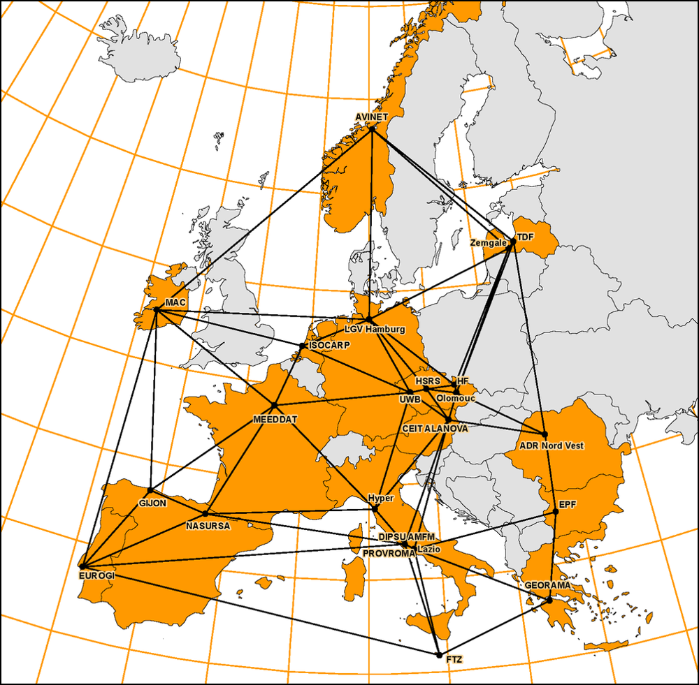
Consortium: 24 partners / 15 countries
Coordinator: University of West Bohemia
Plan4all was a European project co-funded by the eContentplus Community programme. Plan4all included partners from universities, private companies, international organisations and public administration. Plan4all harmonised spatial planning data and related metadata according to the INSPIRE principles and served as a basis for drafting the INSPIRE data specifications.
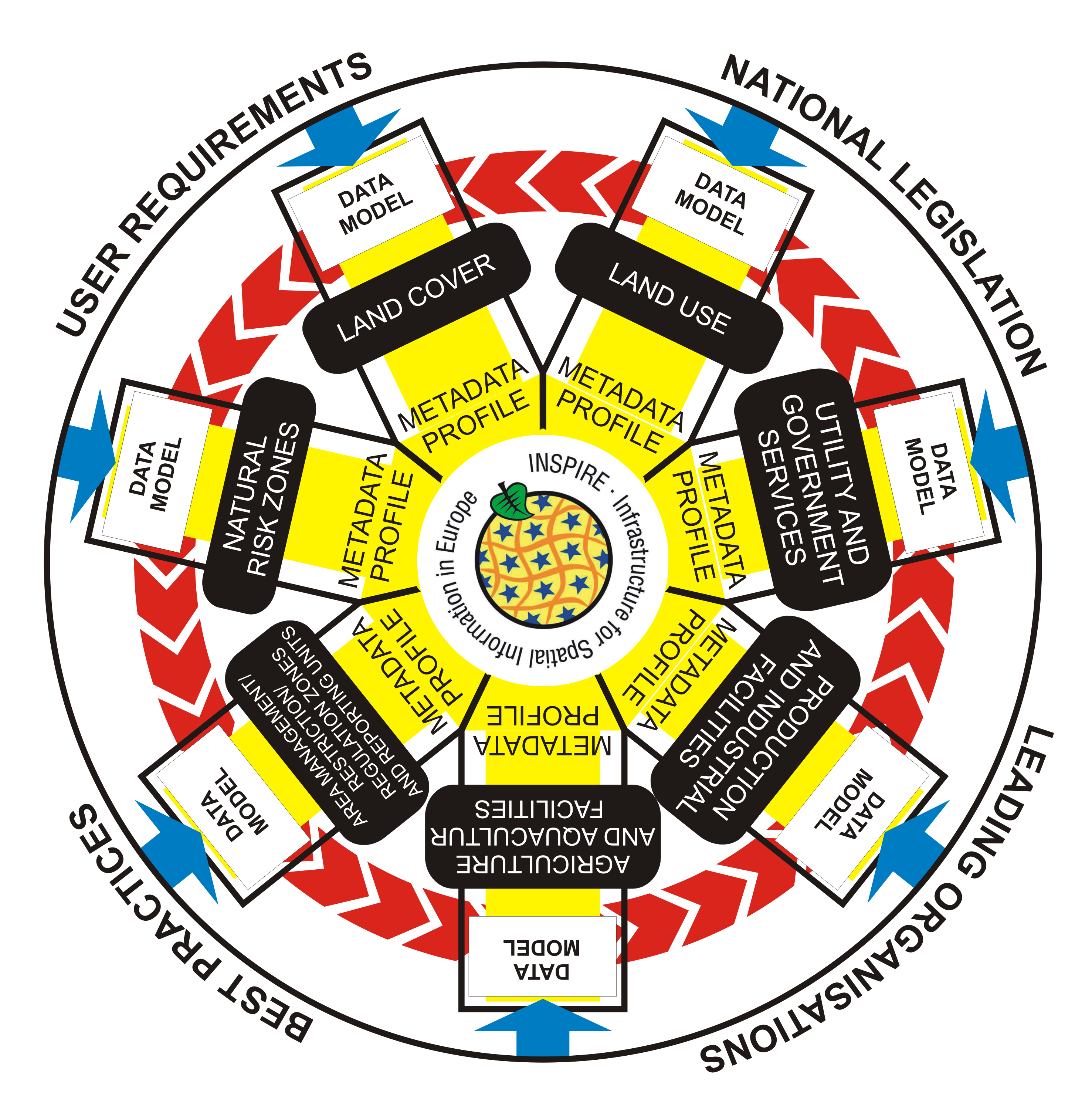
» UWB coordinated this project and defined the land use and land cover data specifications. «
Spatial planning is one of the most important areas that strongly influence our society at all levels. Sustainable planning addresses the environment where people live and work, the location of social and economic activities and the way in which the resources we possess are exploited. Spatial planning acts between all levels of government both in bottom-up and top-down directions. National, regional and local authorities face important challenges in the development of territorial frameworks and concepts every day. The situation is complicated by the diversity and overall complexity of spatial planning.
Spatial planning is a holistic activity. All the tasks and processes must be solved comprehensively with input from various sources. It is necessary to make the inputs interoperable. This allows the user to search the data, view them, download them and use them with help of IT technologies.
Plan4all contributed to make spatial planning data more accessible, usable and exploitable.